
Below: Picture from the collection of the Hagley Museum showing the area of the Darby
Transportation Center in 1927 including the 12th Street Dam, mill race and 1904 trolley bridge
Transportation Center in 1927 including the 12th Street Dam, mill race and 1904 trolley bridge
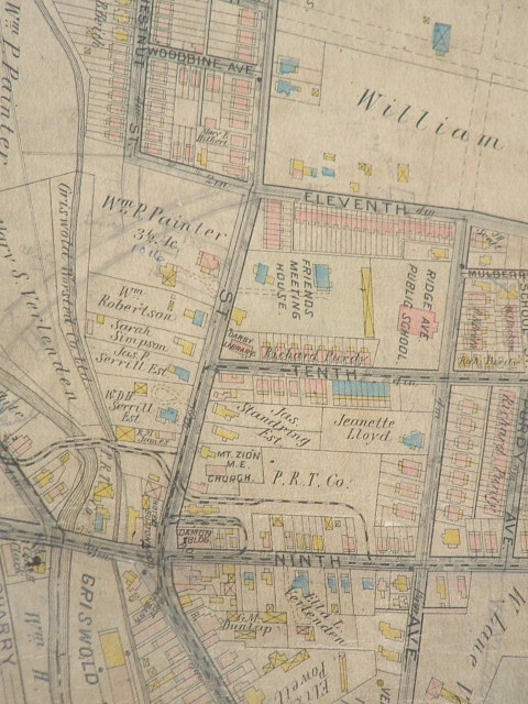
1909 Atlas from the collection of the Darby Free Library showing the same area. The pencil
line shows what became MacDade Blvd. Note the two trolley lines over the 1904 bridge
line shows what became MacDade Blvd. Note the two trolley lines over the 1904 bridge
On March 9, 2009, as part of a meeting of the Darby Borough Planning Commission, SEPTA
graciously agreed to provide 6 signs with information about Darby's transportation heritage if the Darby
Historical Commission would provide the content. Community input was sought and received and these
signs are the result. It is a large file (9 MB) and may take a while to load. The assistance of SEPTA, the
Delaware County Planning Department and Darby Borough is greatly appreciated in this collaborative
effort.